

15: Mesa down to 360
Linking to anchors currently broken, so you'll have to scroll to see the medium version of the picture you clicked on.
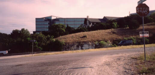
This detour is necessary because the construction of the US 183 freeway and the Loop
360 expressway apparently destroyed a preexisting connection between what is now
"Jollyville Rd." west of 360 and "Old Jollyville Rd." east of 360. The problem with the
freeway construction is that it turned the beginning of "Old Jollyville Rd." into a
one-way exit ramp from Loop 360, meaning that if you were to try to take
this route the way it apparently used to exist, you'd have to go the wrong direction
on either the Loop 360 exit ramp or the US 183 frontage road. Instead, the recommended
solution is to go down this gigantic hill (which requires that i ride my brakes most
of the way down), cross 360 without a signal, and then go up a huge hill through the
Arboretum. This situation was supposed to be addressed by a grant proposal in 1999,
but it was rejected by TXDOT despite being exactly the kind of situation these funds
were designed to address (previously acceptable bike/ped access being severed by
freeway/highway construction).
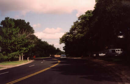
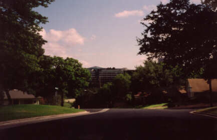
Compare the width of these two residential streets (not even collectors) to some
central-city arterials and it becomes clear that the 1950s-1980s trend of building
subdivisions with super-wide streets is rather ridiculous. Just think how much more
it costs the city to maintain these residential streets, which are wider than my
local 4-lane arterial (Enfield Rd.) the next time you hear an urban resident talk about
subsidized suburban sprawl.


